Performance Specification of V90bx |
Measurements | 220 tracking channels ( Multi-constellation tracking) |
Satellite Signals Tracked Simultaneously | GPS: L1 C/A, L2C, L2E, L5 |
GLONASS: L1C/A, L1P, L2C/A (GLONASS M only), L2P |
SBAS: L1 C/A, L5 |
Galileo: L1 BOC, E5A, E5B, E5AITBOC |
BDS: B1, B2 |
QZSS: L1 C/A, L1 SAIF, L2C, L5 |
NGS approved full-band GNSS antenna |
Positioning
Performance | Static and Fast Static GNSS surveying | Horizontal: 2.5mm+0.5ppm RMS |
Vertical: 5mm+0.5ppm RMS |
Post processing Kinematic (PPK / Stop & Go) GNSS surveying | Horizontal: 10mm+1ppm RMS |
Vertical: 25mm+1ppm RMS |
Initialization time: typically 10 minutes for base while 5 minutes for rover |
Initialization reliability: typically > 99.9% |
Real Time Kinematic (RTK) Surveying | Single baseline | Horizontal: 8mm+1ppm RMS |
Vertical: 15mm+1ppm RMS |
Network RTK | Horizontal: 8mm+0.5ppm RMS |
Vertical: 15mm+0.5ppm RMS |
Initialization time: typically < 8 seconds |
Initialization reliability: typically > 99.9% |
Code differential GNSS positioning | Horizontal: 25mm+1ppm RMS |
Vertical: 50mm+1ppm RMS |
SBAS: 0.50m Horizontal, 0.85m Vertical |
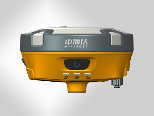
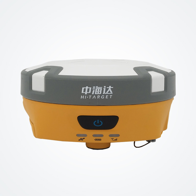
Hardware | Physical | Dimensions(W × H):15.30cm×8.30cm (6.02 in.×3.27in.) |
Weight:0.95kgs (2.09lbs) without internal battery |
Operating:-40°C to +65°C (-40°F to +149°F) |
Storage temperature: -40°C to +75°C (-40°F to +167°F) |
Humidity:100%, considering |
Water/dust proof: IP67 dust proof, protected from |
temporary immersion to depth of 1m (3.28ft) |
Shock and Vibration.Designed to survive |
a 3m(9.84ft) nature fall onto concrete. |
Electrical | Power 6V to 28V DC external power input |
Power consumption< 3.5W |
Automatic switching between internal power and external power |
Battery: rechargeable, removable 7.4V, 5000mAh /block lithium |
battery in internal battery compartment |
Internal battery life: Static 12 hours, RTK rover (UHF/ GPRS / 3G) |
8-10hours, RTK base 8 hours |
I/O interface | 1×Bluetooth, NFC |
1×standard USB2.0 port |
2×RS232 serial port |
2×DC power input(8-pin & 5-pin) |
1×Micro SD card port for GSM or CDMA |
| Tilt survey system & electronic bubble |
Communication, system
and data storage | Network Communication | Fully integrated, fully sealed internal WCDMA, compatible with |
GPRS,GSM, WIFI frequency is 2.4G, supports 802.11b/g/n protocol |
HI-TRAGERT internal
UHF radio(standard) | Frequency: 450~470MHz with 116 channels |
Transmitting power:0.5W, 1W, 2W adjustable |
Transmitting speed: 9.6Kbps,19.2Kbps |
Working range: 3-5km typical, 8-10km optimal |
Pacific Crest XDL Micro internal UHF radio | Frequency: 403~473MHz, support most of radio communication protocol |
Transmitting power: 0.5W, 2W adjustable |
Transmitting speed: up to 19.2Kbps |
Working range: 3-5km typical, 8-10km optimal |
HI-TRAGERT external UHF radio(standard) | Frequency: 460MHz with 116 channels |
Transmission power: 5W, 10W, 20W, 30W adjustable |
Transmitting speed: up to 19.2Kbps |
Working range: 8-10km typical, 15-20km optimal |
Pacific Crest ADL Vantage Pro external UHF radio | Frequency: 390~430MHz or 430~470MHz |
Transmitting power: 4W to 35W adjustable |
Transmitting speed: up to 19.2Kbps |
Support most of radio communication protocol |
Working range: 8-10km typical, 15-20km optimal |
System | Data storage:16GB internal storage(Support up to 32GB external SD card |
Record GNS and RINEX format simultaneously |
Data formats | Positioning output: 1Hz to 20Hz |
CMR: CMR, CMR+, sCMRx input and output |
Navigation outputs ASCII: NMEA-0183 GSV, AVR, RMC, HDT, VGK, VHD, |
ROT, GGK, GGA, GSA, ZDA, VTG, GST, PJT, PJK, BPQ, GLL, GRS, GBS |
RTCM: RTCM2.1, 2.3, 3.0, 3.1, 3.2 input and output |
Navigation outputs Binary:Trimble GSOF |