Configuration | Detailed indicators |
GNSS Configuration | Satellite signals tracked simultaneously | Channels:336 |
BeiDou: B1, B2, B3 |
GPS: L1C/A, L2C, L2E, L5 |
GLONASS: L1C/A, L2C/A, L3 CDMA |
GALILEO: E1, E5A, E5B, E5AltBOC, E6 |
SBAS: L1C/A, L5 |
QZSS, WAAS, MSAS, GAGAN, IRNSS |
Support the PPP service |
Output format | ASCII: NMEA-0183, binary data |
Positioning output frequency | Maximum 50Hz |
Static data format | GNS and Rinex |
Message type | CMR, RTCM2.X, RTCM3.0, RTCM3.2 |
Network model | VRS, FKP, MAC; support NTRIP |
System Configuration | Operating system | Cortex-A5 core, Linux |
Data storage | Circulating 16GB internal storage; records GNS and RINEX formats simultaneously |
Accuracy and Reliability[1] | RTK Positioning | Horizontal: 8mm +1ppm RMS |
Vertical: 15m +1ppm RMS |
Static | Horizontal: 2.5mm +0.5ppm RMS |
Vertical: 5m + 0.5ppm RMS |
Initialization time | <10s |
Initialization reliability | >99.99% |
Connector | External connector | 5-pin socket, USB socket, antenna port and SIM card slot |
Communication | Cellular mobile | Internal 4G mobile network:TDD-LTE, FDD-LTE, WCDMA, EDGE, GPRS, GSM |
WiFi | 802.11 b/g access point and client mode, WiFi hotspot available |
Bluetooth | Bluetooth® 4.0/2.1+EDR, 2.4GHz |
Internal UHF transceiver radio | Transmitting power: 0.1W-1W adjustable |
Frequency: 403MHz-473MHz |
Protocol: HI-TARGET, TRIMTALK450S, TRIMMARK, TRANSEOT |
Bands: 116 bands(16 bands are configurable) |
Working Range: Typically 3-5 km ,optimal 5-8 km |
External UHF radio | Transmitting power: 5W/25W adjustable |
Working voltage: 9-16V |
Frequency: 410MHz-470MHz |
Working Range: Typically 8-10 km ,optimal 15-20 km |
Sensor | Electronic bubble | Intelligent levelling |
Tilt survey[2] | Tilt correction system will continue to monitor the inclination of the centering rod, and compensate to correct the coordinates |
Temperature sensor | Intelligent temperature control |
User Interface | Button | Single button |
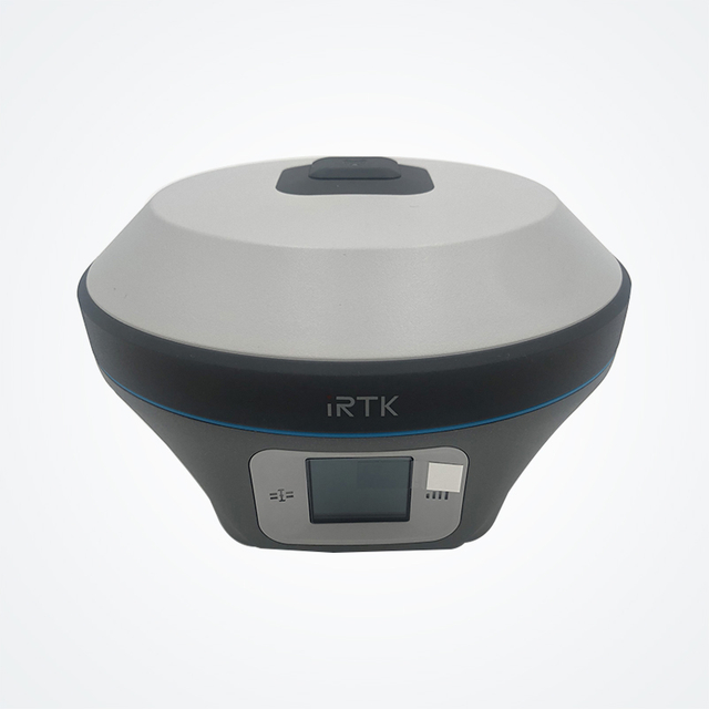
Touch screen | Industrial OLED color screen (240 * 240); Capacitive touch, waterproof, supports glove operation |
LED Lamp | Satellite lamp, signal lamp, power light |
Application Function | Advanced function | OTG, NFC, WebUI, USB firmware upgrade, battery quick charge |
Intelligence application | Intelligent voice, self-test function, network repeater station, radio repeater station |
Remote service | Message delivery, remote upgrade |
Physical | Internal battery | 6800mAh lithium-ion rechargeable and remove battery, RTK rover(UHF/Cellular)≥9 hours[3] |
External power | 6-28V DC external power input(5-pin port) with over-discharge protection |
Dimensions | Φ158mm×98mm |
Weight | ≤1.2kg(includes battery) |
Power consumption | 4.4W(static mode) |
Materials | The shell is made of magnesium alloy material |
Environment | Water/dustproof | IP67 |
Free fall | Designed to survive a 2m natural fall onto concrete |
Humidity | 100%, condensing |
Operation temperature | -40ºC~+75ºC |
Storage temperature | -55ºC~+85ºC |
Note: [1] Measurement accuracy and reliability are affected by many factors, including the satellite's geometric distribution, number of satellites, observation time, satellite ephemeris, ionospheric conditions and multipath.
[2] Tilt measurement accuracy is disturbed by many factors, including external electromagnetic interference, pre-calibration precautions, and panel orientation.
[3] Battery working time is related to work environment, working temperature and battery life. |