Performance advantages
IRTK2 retained the wizard voice service, a generation of intelligent RTK DIY voice service, intelligent security services, batch configuration, lightning upgrade, intelligent voice diagnosis intelligent service at the same time, in the Linux system for iRTK2 under the strong impetus of today's mainstream and the perfect combination of technology, higher power output, the maximum level of perfect intelligence interpretation of them!
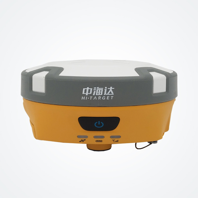
• a new generation of small smart compass RTK, equipped with top drive core and magnesium alloy body, providing intelligent mapping overall solution;
Using the multi frequency GNSS unit, BDS, GPS, GLONASS, GALILEO system support for navigation and positioning;
• equipped with Linux operating system and large capacity storage (16GB+SD card);
• static data dual format storage (*.GNS/RINEX data);
• WiFi/ cellular mobile connection capabilities for remote data transmission;
• 4G full Netcom, multi protocol radio, subversion boundaries, ultimate compatibility;
Tilt measurement, since there is no need for accurate centering, automatic tilt compensation, so that the measurement becomes easy and simple;
NFC - a little on IGRS, software startup, host connection step, faster, more accurate, better.
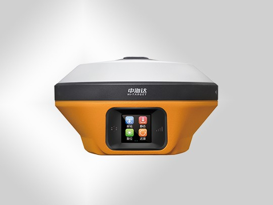
• industry customized professional mapping manual, Android system, a key Chi Kai, a key measurement;
• powerful professional measurement software Hi-Survey, intelligent, experience, efficiency and perfect combination;
• HDL star power transceiver station, support multi protocol, compatible with imported brands, network relay, radio relay, plug-in radio three modes to meet customer needs;
Specification
Core technology: the use of original iRTK Technology
system configuration
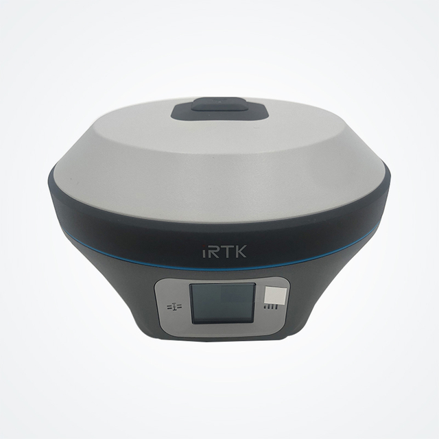
Operating system: Linux operating system
Start time: 3 seconds
Data storage: built-in 16GBROM, support for maximum 32GSD card expansion
GNSS configuration
Using multi core system
Number of channels: 220
BDS:B1, B2, B3
GPS:L1C/A, L1C, L2C, L2E, L5
GLONASS:L1C/A, L1P, L2C/A, L2P, L3
GALILEO:GIOVE-A and GIOVE-B, E1, E5A, E5B
SBAS:L1C/A, L5
QZSS, WAAS, MSAS, EAGAN
Output format: ASCII:NMEA-0183, binary code
Location output frequency: 1Hz~50Hz
Differential support: CMR, RTCM2.X, RTCM3.0, RTCM3.2
Static formatting support: GNS, Rinex, dual format static data
Accuracy and reliability
RTK positioning accuracy
flat surface:±(8+1×10¯6D)mm
Altitude:±(15+1×10¯6D)mm
Static positioning accuracy
flat surface:±(2.5+1×10¯6D)mm
Altitude:±(5+1×10¯6D)mm
DGPS positioning accuracy:
Plane accuracy: ± 0.25m+1ppm; height accuracy: ± 0.50m+1ppm
SBAS positioning accuracy: 0.5m
Initialization time: <10 seconds
Initialization reliability: > 99.99%
Tilt measurement: 30°: ≤ 3cm
Communication unit
Built in 4G full CNC network communication
TDD-LTE, FDD-LTE, TD-SCDMA, WCDMA, EDGE, GPRS, GSM
WiFi Communications: 802.11b/g access point and client mode can provide WiFi hotspot services
Bluetooth communication
Built in transceiver station: built-in transceiver:
Power: 1W/2W/5W adjustable
Frequency band: 403MHz-473MHz
Transmission rate: 19.2kbps/9.6kbps adjustable
Channel number: 116 channels are adjustable
External radio
Single external radio station (standard):
Power: 5W/10W/20W/30W adjustable frequency band: 450MHz-470MHz
Transmission rate: 19.2kbps/9.6kbps adjustable, channel: 116 frequency adjustable
sensor
The electronic bubble realizes intelligent centering
Temperature sensor realizes intelligent temperature control and frequency modulation
user interface
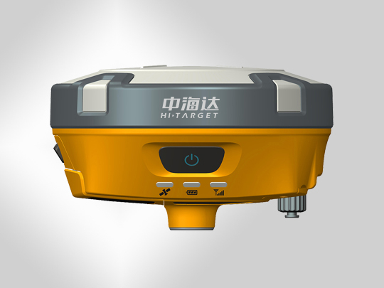
Panel: single button
LED prompt lamp: Satellite lamp, communication lamp, power supply lamp
Advanced applications
IPOWER intelligent balance skills, LBS, NFC
Intelligent services: voice broadcast, voice wizard, function self-test, DIY voice
Remote service: remote reminder, remote upgrade, remote registration, remote control, remote data download
physical characteristics
Battery: high capacity lithium battery 5000mAh/ block (2 blocks), single block battery, network mobile station, working time 10 hours
Input voltage: DC 6~28V, over discharge protection
Size: 155mm * 83mm
Weight: 1.2kg (including battery)
Power consumption: 4.2W
Material: the shell is made of magnesium alloy
Environmental characteristics
Dust proof water: IP68, can resist 2 meters underwater temporary immersion, completely prevent dust entering
UNBreak: anti 3 meters natural drop
Relative humidity: 100% non condensing
Operating temperature: -45℃~75℃
Storage temperature: -55℃~85℃