Station differential | *Support Hi-RTP satellite-based enhancement services (support L-Band) |
GNSS configuration | *Number of channels :400+ *BDS:B1,B2,B3 *GPS:L1,L2,L5 *GLONASS:L1,L2 *GALILIEO:E1,E5a,E5b *SBAS:support *QZSS:support *Output format ASCII:NMEA-0183, binary codes
*Location output frequency :1 Hz~20 Hz
*Static Data Format :GNS,Rinex Dual Format Static Data
*Difference scheme: CMR,RTCM2.X,RTCM3.0,RTCM3.2
*Network Mode: VRS,FKP,MAC; Support NTRIP Protocol
|
System configuration | *OS: Linux operating system
*Start time :3 seconds
*Data storage: built-in 8 GB ROM, support static data automatic cyclic storage |
[1] of accuracy and reliability | *RTK positioning accuracy: plane :±8 1×10⁻⁶ D) mm (D distance between measured points)
Elevation :±(15); and 1×10⁻⁶ D) mm (D distance between measured points)
*Static positioning accuracy :±(2.5) plane 0.5×10⁻⁶ D) mm (D distance between measured points)
Elevation :±5 0.5×10⁻⁶ D) mm (D distance between measured points)
*DGPS positioning accuracy: plane accuracy :±0.25 m 1ppm; elevation accuracy :±0.50
*SBAS positioning accuracy :0.5 m
*Initialization time :<10 seconds
*Initialization reliability :>99.99 per cent |
Communications module | * I/O port :5 core interface, USB Type C interface, SMA interface, Nano SIM card slot *Built-in eSIM card :(including 3 years of Internet access fee), no card can be connected *4G built-in network communications: TDD-LTE,FDD-LTE,WCDMA,EDGE,GPRS,GSM *WiFi communication :802.11 a/b/g/n access point and client mode, can provide WiFi hotspot services *Bluetooth Communications: Bluetooth 4.2/2.1EDR,2.4GHz *Built-in radio: Power :0.5 W/1W/2W Adjustable Spectrum :410 MHz~470 MHz Agreement: HI-TARGET,TRIMTALK450S,TRIMMARKⅢ,TRANSEOT,SOUTH Number of channels :116(16 of which are configurable) *External Radio: HDL460A Agreement External Radio Power :10 W\30W adjustable, frequency :403~473 MHz,
Agreement: HI-TARGET,TRIMTALK450S,TRIMMARKⅢ,
TRANSEOT,SOUTH,CHC,SATEL
Transmission rate :19.2 kbps/9.6kbps adjustable
Channels :116(16 of which are configurable)
|
Sensor | *Electronic bubble: realization of intelligent alignment
*Tilt measurement: built-in high-precision inertial navigation, automatic attitude compensation, no correction, anti-magnetic interference, point-to-point measurement, accuracy 3 cm. |
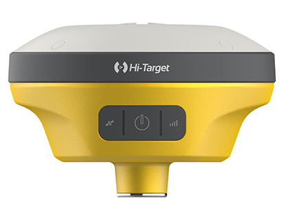
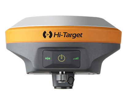
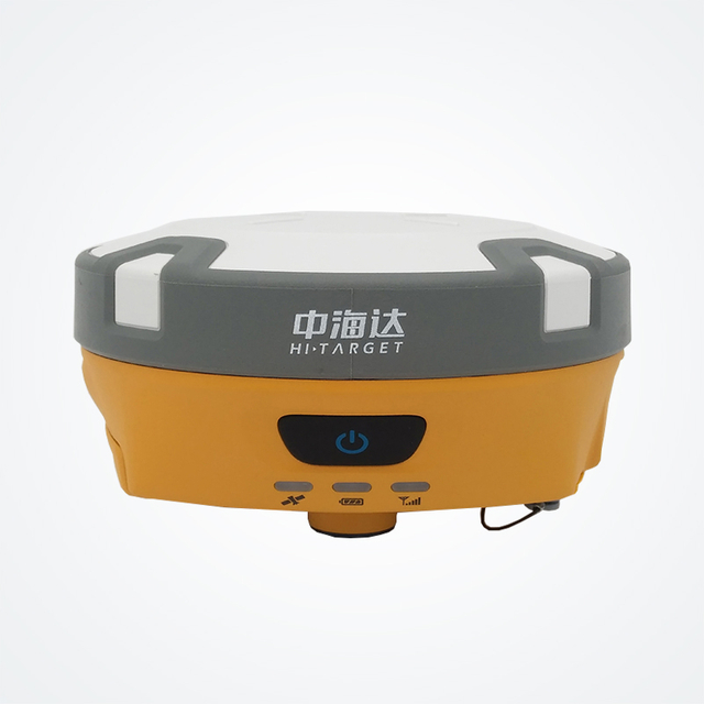
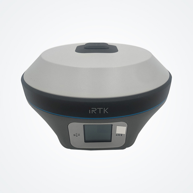
User interface | *Key: Two keys
*Display :0.94 inch 240*120 high resolution OLED high definition color display
*LED light: satellite light, signal light |
Functional applications | * Premium features: OTG, NFC flash, webul interaction, firmware upgrade for u disk
*Intelligent application: intelligent voice, self-test, battery charging, intelligent base station
*Remote services: message push, online upgrade, remote control
*Cloud services: equipment management, location services, collaborative operations, data analysis |
Physical characteristics | *Mainframe battery: built-in high capacity lithium battery 6800 mAh/7.4V, network mobile station working hours [2]10 hours
*Support fast charge: support USB PD3.0 super fast charge, charging time ≤3.5 hours. Support portable battery charging.
*External Power Supply :6~28 V Wide Voltage DC Design ,5 Core Interface
*Dimensions :Φ156mmx77mm
*Weight :≤1.25 kg( battery)
*Power consumption: W 4.2
*Material: Magnesium alloy material for shell |
Environmental characteristics | *Dustproof and waterproof :IP68
Natural fall of 2 meter high measuring rod
Relative humidity 100% non-condensation
Operating temperature -30℃~70℃
Storage temperature -40℃~80℃ |
note :[1] measurement accuracy, accuracy, reliability and initialization time depend on a variety of factors, including number of satellites, geometric distribution, observation time, atmospheric condition and multipath validity. the data are obtained under normal conditions.
[2] battery working time is related to working environment, working temperature and battery life. |